

 18 hours ago
4
PROTECT YOURSELF with Orgo-Life® QUANTUM TECHNOLOGY
Orgo-Life the new way to the future Advertising by AdpathwayLa Grande Boréale combines doubletrack roads through the forests of Mont-Tremblant National Park, rolling gravel in wide-open valleys, charming towns and villages, and cycling on former railway lines—the famous Le P’tit Train du Nord and its less-famous cousin, Le Corridor Aérobique. Whether you’re a hardcore bikepacker or an occasional credit card tourer, it is a great way to experience what Quebec's Laurentian Mountains have to offer…
Photos by Adrien Catel, Alexe Root, Jeremy Rubier, and Laurence Bélanger
Known for other outdoor pastimes, we thought it was high time the Laurentians got on the map for their quality gravel trails and proximity to Montreal. We named the route after the elusive northern lights and the boreal shield forest that covers the Laurentians. We hope it will make you thirsty for more!
What makes the route so unique is how it combines landscapes, giving cyclists an excellent way to discover what the region offers for gravel riders: wide rural valleys, pristine lakes, tight, winding doubletrack trails in the forest, beautifully maintained former railway lines, and incredible accommodations for all price ranges.
Another stand-out feature is how you will flit in and out of civilization all in the same day. The Laurentians have a strong regional feel, built on over 100 years as Montreal’s outdoor playground, and as a result, the villages have a real European feel, with boulangeries, cafés, ice-cream shops, and beaches. Except for one 4-kilometer section (Chemin de Ste Lucie) and one 3-kilometer section (327 South of Saint-Jovite), you will cycle on very quiet country roads with little traffic.
Finally, you’re likely to encounter local fauna, especially if you start early. We have seen white-tailed deer, beavers, porcupines, moose, and coyotes. You can also hear loons calling on the countless lakes that dot the route, and wolves howling at night beneath the Milky Way in Tremblant National Park.
It is also possible to extend your trip by adding on La Retraite de l’Ouest, a one- to two-day, 94-kilometer ride in the Western Laurentians. This ride gives you a real feel for the Western Laurentians, with beautiful Rouge River valley, a Buddhist temple, and charming anglophone villages. If you want to access the route from Montreal by public transport, take the train to Saint-Jérôme, then cycle 21 kilometers along Le P’tit Train du Nord.
Route Difficulty
La Grande Boréale is a moderate-to-difficult route. This is mainly due to trail difficulty, which varies significantly. You can avoid difficult sections with asphalt alternatives. Physical demand should also be considered. The Laurentians are small but steep, and people can be surprised by how demanding they are. We have provided a range of sleeping options so people can divide the Grande Boréale accordingly. The less you do per day, the easier it is. Finally, resupply and logistics on the trail are great. Despite an enticing sense of wilderness, you will pass through many villages.
Route Development
Jean-Sebastien Thibault and Will Hotopf designed this route for the project Gravelle Laurentides, a non-profit run by La SOPAIR (the outdoor society of the municipality of Le Pays-d’en-Haut). Gravelle Laurentides was created out of a strong belief that the Laurentian region should be known for its gravel routes. The route was designed in the summer of 2025 through a meticulous process: consultation, creation, driving, and multiple rides. To ensure quality, the designers used the official route-designing matrix of the cycling federation of Québec, Vélo Québec.
Submit Route Alert
As the leading creator and publisher of bikepacking routes, BIKEPACKING.com endeavors to maintain, improve, and advocate for our growing network of bikepacking routes all over the world. As such, our editorial team, route creators, and Route Stewards serve as mediators for route improvements and opportunities for connectivity, conservation, and community growth around these routes. To facilitate these efforts, we rely on our Bikepacking Collective and the greater bikepacking community to call attention to critical issues and opportunities that are discovered while riding these routes. If you have a vital issue or opportunity regarding this route that pertains to one of the subjects below, please let us know:
- Cycling on the famous P’tit Train du Nord
- Cycling on the lesser-known sister bike route, Le Corridor Aérobique
- Cycling through the beautiful and wild Mont-Tremblant National Park
- Exceptional stargazing in Mont-Tremblant
- Cute villages throughout with a range of facilities and shops
- High likelihood of seeing local wild fauna
- Possibility to link up by train from Montréal
- A variety of lakeside beaches and rivers for swimming
- Excellent local breweries throughout
- A great combination of front and backcountry
- A diverse landscape encapsulating the best of the Laurentians
When to go
- We recommend cycling La Grande Boréale from end of May through to late October. Weather-wise, in May and October, expect cold nights. July can be muggy.
Logistics
- We recommend cycling the route anticlockwise, starting and finishing in the car parking of the Chalet Bellevue of Morin Heights.
- To get to La Grande Boréale by car, drive up Highway 15 from Montreal. You can park overnight in the car parking of the Chalet Bellevue of Morin Heights.
- It is also possible to get to La Grande Boréale by train. Take the train from the Gare Centrale (Central Station) in Montréal to Saint-Jérome. From there, pedal the 21 kilometers on the P’tit Train du Nord to get to La Grande Boréale at Piedmont.
- You will need to pay for park entry at the Mont Tremblant Park. You can do this online or in person at the reception.
Dangers & Annoyances
- There are few dangers. The section on the 327 (2.6 kilometers) from Saint-Jovite to the Chemin Paquette can be busy – this is the only section on a main road. The Chemin de Sainte-Lucie (4km) often has many truck drivers. Drivers in Quebec are very respectful and will typically give you a wide berth.
- There are few annoyances. If you cycle the route in June to mid-July, prepare to be followed by deer flies (particularly on the Jackrabbit train) and bring bug nets for mosquitoes at night.
Travel Basics
- This bike route is in Canada. Please ensure you have the appropriate visa if you come from a country without visa on arrival. Non-US citizens must apply for an eTA in advance.
- Almost everyone in the Laurentians speaks English to varying degrees of fluency. However, it is always well appreciated if you speak French in Quebec. A simple “bonjour” and a smile will go a long way. We also recommend asking locals in French if they speak English before switching: Parlez-vous anglais?
What Bike
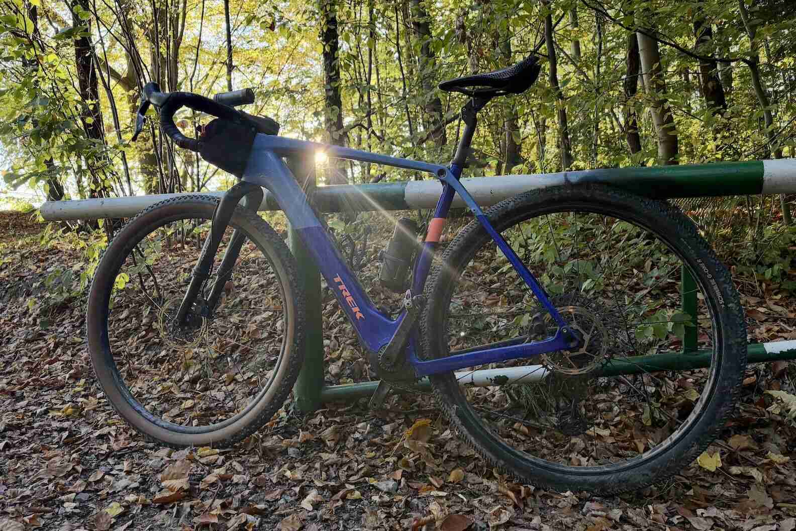
- This route was scouted and created by us on gravel bikes with 42mm tire clearance. We wouldn’t recommend less, especially on certain sections; Interval-Saint Donat and the Jackrabbit Trail would be arduous. Wider tires would work but would slow you down.
- Camping and lodging options are abundant in the Laurentians. Wild camping is not allowed, except on the Jackrabbit Trail. We recommend contacting campsites in advance to book. The only exception is the Bienvenue Cyclistes site at Lac Monroe, which is first-come, first-served. Huttopia (Parc Écho) and l’Interval typically have sites available on arrival. You can camp at Les Sommets de Morin-Heights the night before departure.
- If you prefer pedaling between inns and cabins, there are a multitude on our Ride with GPS map. We especially recommend Au Clos Rolland (Mont-Rolland) and Mactaverne (Val-David). L’Interval, Parc Mont-Tremblant, and Huttopia have a range of excellent cabins and glamping options.
- Food and water is available throughout the route. We recommend bringing a filter, which will come in particularly handy in the Tremblant National Park and the Jackrabbit Trail.
- There is an abundance of food choices, with each village containing dépanneurs (corner shops) and larger ones, supermarkets. Many also have local food markets (Val-David, in particular).
- We recommend trying poutine and local beers, and also getting the amazing ice cream at Dans La Musette in Sainte-Lucie-des-Laurentides!
We intentionally didn’t propose a day-by-day itinerary on the Gravelle Laurentides website so people can determine their own pace. Some do the loop in two days, some in five; it is really up to you, and whether you want to combine it with other activities. That said, here is a suggested four-day bike loop. We do not mention specific stops, but all information on services and POIs is on the Ride with GPS map on the website. The below is based on arriving by car:
locationChalet Bellevue of Morin-Heights to l’Interval Coop
Day 1 (64.2km, +800m)
Arrive at Chalet Bellevue and leave your car. Head east on the Corridor Aerobique to join the P’tit Train du Nord (PTN) at Piedmont. Both are former train lines with a gentle grade. From there, head north, stopping at the quaint villages along the way. From Sainte-Agathe, head onto a gravel trail, join the Chemin de Sainte-Lucie for four kilometers, then take a gravel road. At the intersection with the Chemin des Hauteurs, we recommend turning right to the village of Sainte-Lucie for what we believe is the best ice cream in the world at La Halte Musette. Afterward, continue toward the Interval Coop for well-deserved rest by the lake.
locationL’Interval Coop to Lac Monroe, Mont Tremblant National Park
Day 2 (67.8km, +830m)
Start the day by descending toward Saint-Donat on the most technical part of the route. From there, enjoy the village before heading into the Mont-Tremblant National Park. Ensure that you are self-sufficient in terms of water and food, as this section is wild until Lac Monroe. Lac Monroe has a wide range of accommodation options. All need to be reserved in advance, with the exception of the Bienvenue Cyclistes! campsite, which is first-come, first-served. At night, admire the stars. Tremblant is a renowned international dark sky reserve.
locationLac Monroe, Mont Tremblant National Park to Huttopia, Parc Écho
Day 3 (83.9km, +940m)
From Lac Monroe, stop by the visitor center and store to pick up supplies. Pedal through the park and out onto a gravel road which will join with Le P’tit Train du Nord (PTN) at Labelle. Pedal along what we believe is the most beautiful stretch of the PTN, through open pasture and deciduous woodland. Cross through the quaint town of Saint-Jovite, then along the 329 for 2.6 kilometers on a main road with a decent shoulder. Then, enter a beautiful, open valley before joining the Jackrabbit gravel trail. This trail is wild, so make sure you have enough water and provisions before you join it. Finish the day by leaving the Jackrabbit. You will pass a water fountain on the way, then arrive at Huttopia. We recommend their excellent pizza!
locationHuttopia, Parc Écho to Chalet Bellevue
Day 4 (52.9km, +570m)
Starting at Huttopia, you will continue back to the Jackrabbit. Continue along the trail, stopping at the scenic lookouts at the hydro lines. The trail will end just before Weir, where you will get on the Corridor Aérobique, another former train line. Stop along the way to take in this lake-dotted landscape. At the end of the Corridor is the Chalet Bellevue, from which you started three days ago! Enjoy a beer and good meal at one of the featured breweries before heading out of the Laurentians.
The Gravelle Laurentides Ride with GPS map provides several route alternates. These cater tto those who want more or less gravel riding.
Terms of Use: As with each bikepacking route guide published on BIKEPACKING.com, should you choose to cycle this route, do so at your own risk. Prior to setting out check current local weather, conditions, and land/road closures. While riding, obey all public and private land use restrictions and rules, carry proper safety and navigational equipment, and of course, follow the #leavenotrace guidelines. The information found herein is simply a planning resource to be used as a point of inspiration in conjunction with your own due-diligence. In spite of the fact that this route, associated GPS track (GPX and maps), and all route guidelines were prepared under diligent research by the specified contributor and/or contributors, the accuracy of such and judgement of the author is not guaranteed. BIKEPACKING.com LLC, its partners, associates, and contributors are in no way liable for personal injury, damage to personal property, or any other such situation that might happen to individual riders cycling or following this route.
Further Riding and Reading
Here are some connected/nearby routes and related reports...
Please keep the conversation civil, constructive, and inclusive, or your comment will be removed.















 English (US) ·
 French (CA) ·
 French (FR) ·